

Dispersion over the urban area
The vehicles end up where the last user leaves them. The status of each person is discovered by going there, and each check costs a trip.
Zenit can monitor a micromobility fleet only after the device, power, housing, connectivity and available data have been validated on the actual asset. Once installation is confirmed, location, history and geofences can support distributed-fleet operations without turning the system into an anti-theft or sharing platform.
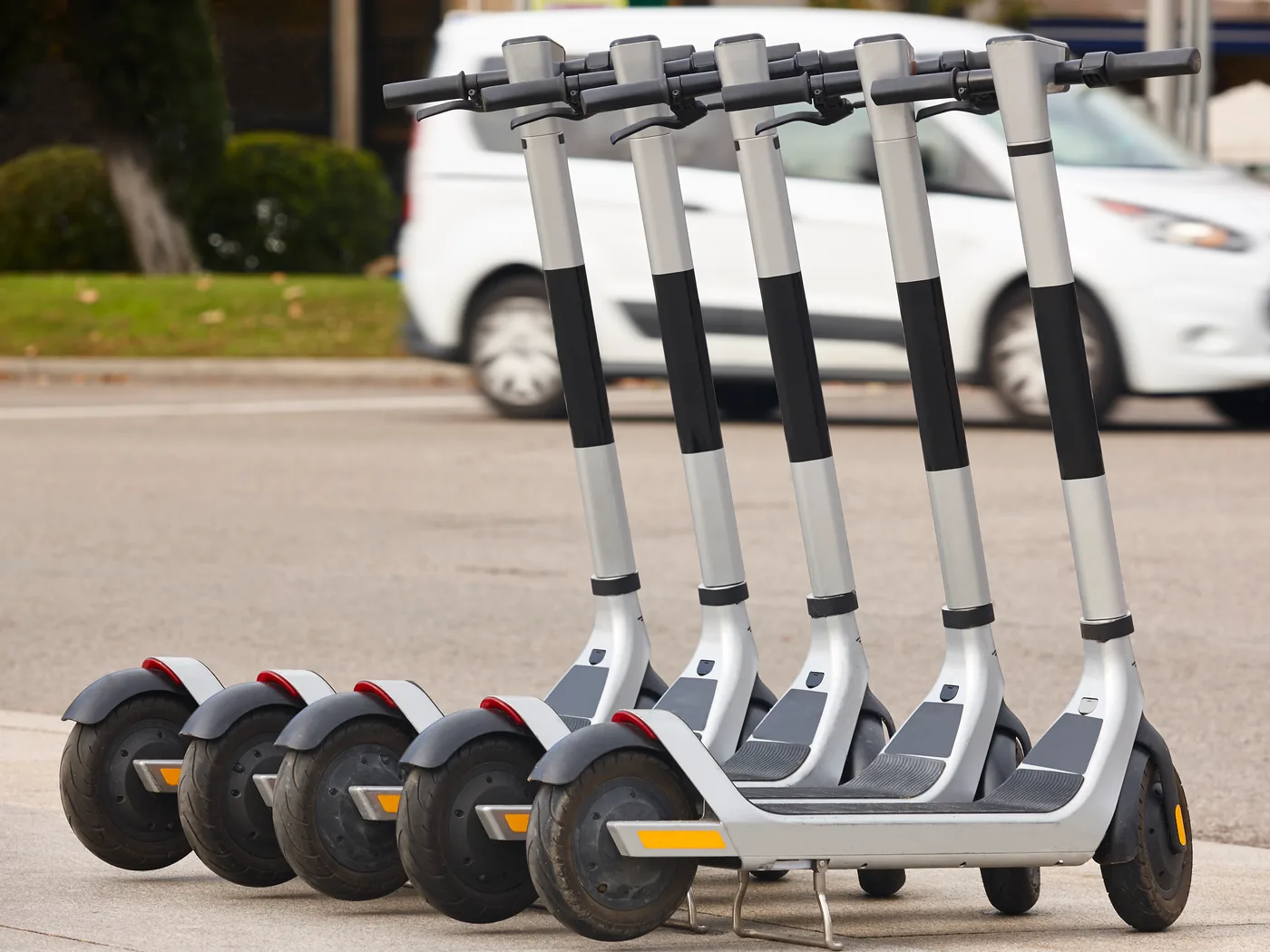
A micromobility fleet does not have a forecourt. It's spread across square kilometres of the city, changes location every hour, and the only way to know where a vehicle is is if someone sees it.
Dispersion over the urban area
The vehicles end up where the last user leaves them. The status of each person is discovered by going there, and each check costs a trip.
Recovery scheduled by heart
The collection round is built on where the vehicles were yesterday, not on where they are now: you pass where you don't need them and skip where you need them.
Exit from the service area
A vehicle that leaves the operational coverage only becomes a problem when someone searches for it and cannot find it.
The device that cannot be mounted
Power, protection, space and connectivity vary by model; installation cannot be confirmed without a technical check.
The stationary vehicle that no one knows is stationary
A vehicle that stops being used does not report it: it remains on the list as available until a customer finds it and complains about it.
Compatibility is not universal: model, power, housing, connectivity and project purpose all need to be confirmed.
Voltage, draw, water and impact protection, available space and mounting method vary by model. The device and installation must be selected against these constraints, not only the asset category.
The tracker must be able to communicate in the intended operating conditions. Location and history may come from the device; other signals depend on the asset architecture and are not guaranteed simply because GPS is present.
Zenit assesses the actual asset and confirms whether a suitable device, power source and installation exist. The assessment also defines which data can reach the platform; it does not automatically extend compatibility to other models, trailers, equipment or machinery.
Only what is available today. What depends on the vehicle is said as such instead of being promised.
Location in real time
Where each vehicle is when the device communicates, on a single map instead of one report at a time.
Route history
Where a vehicle was and when: it is the data with which a day is reconstructed instead of hypothesizing it.
Geofence and areas
Areas drawn on the map that generate an event when a vehicle enters or exits. You define them, on your operational coverage.
Stops and use
How long a vehicle has been standing where it is, to distinguish the one in use from the one to be recovered.
Operational alerts
Rules that report the exception instead of letting anyone who passes by discover it.
A single fleet
If you also manage vans or company cars, they are on the same platform as light vehicles.
No number declared: we have no verifiable data on micromobility fleets to cite, and citing generic ones would be worse than remaining silent.
Before
Visual search
The position of a vehicle is discovered by going there, and each check costs a trip.
Tour built from memory
Recovery follows habit, not the actual distribution of today's means.
Unmanned coverage
A half outside the area is noticed when it misses, not when it goes out.
With Zenit
Position available for consultation
Where each vehicle is located when the device communicates, without going out.
Ride built on today's data
Recovery starts from where the vehicles are now and how long they have been stationary.
Exit from the marked area
The geofence generates the event as it happens.
In this sector it is needed more than elsewhere: the misunderstanding comes first and wastes time for both.
Your existing e-scooters and e-bikes remain unchanged. Zenit supplies and installs the tracking devices and the platform that reads them; it does not supply the vehicles themselves.
Booking, vehicle unlocking, payment and invoicing to the end user are not part of the coverage. If you're looking for a sharing platform, you're looking for something else — and it's best to know that now.
There is no app for your customers. There is a platform for you, which tells you where the vehicles are and what operational status they are in.
The areas are configured, but the parking and circulation restrictions change from municipality to municipality and from resolution to resolution. We do not know them and we do not declare that the system complies with them: the tool is configurable, the evaluation remains yours.
No percentage declared. These are the levers and they are measured on your operations.
Fewer empty runs
A lap built on the real position avoids passages where there was no need to go.
Vehicles put back into service earlier
A stationary and localized vehicle is recovered; a still and unknown one remains still.
Guarded coverage
Exiting the operational area becomes an event instead of a discovery.
Vehicle, necessary data and operating area determine how to install the device and which rules to configure.
Half
Brand, model and how the system is made: it is the check that says if and how it is installed, and it must be done on the actual vehicle rather than on the technical data sheet.
We respond with an inspection or photos of the housing, not with specifications.
Data
On a vehicle without an on-board network, the data available is position, route and use. Which of these you actually need changes what makes sense to install.
It is defined before installation, so no report is born empty.
Area
Where vehicles can stay and where they can't is your decision, and determines how geofences are configured.
You draw it on the map together, starting from the coverage you already use.
It is possible only when a compatible device, suitable power source, secure housing and sustainable installation exist for that specific asset. Zenit assesses these elements before confirming a project; compatibility is not universal across every model or voltage.
No. Zenit does not supply e-scooters, e-bikes or scooters. A tracking project can include the platform and a compatible device only after the asset and installation have passed technical validation.
Yes. The areas are drawn on the map as geofences and generate an event when a vehicle enters or exits. You define the areas: Zenit does not know the parking restrictions of your municipality and does not configure them for you, because they change from city to city and from resolution to resolution. The tool is configurable, compliance remains your assessment.
When a compatible device is installed and communicating, location and history can help establish where the asset is. This is not a recovery guarantee, does not prevent theft and does not replace an anti-theft system or security procedures.
It depends on the asset, device and installation. Location, journeys, stops and use may come from the configured tracker; vehicle signals must not be assumed and need a separate check. The available data is defined on the actual asset before installation.
The quickest way to find out if it can be installed is to tell us what resources you have. The verification is done on the real vehicle, and it is the first thing to clarify before talking about functions.
We use necessary technical cookies. With your consent, we may use analytics cookies to measure the site and Meta Pixel to attribute campaigns, build audiences and personalise advertising. You can reject or choose each category; the site will still work. Cookie policy · Privacy policy